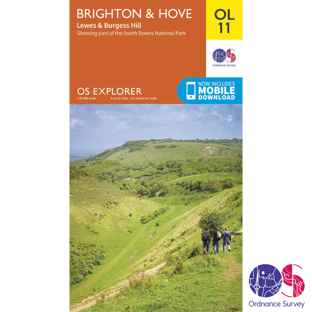
Ordnance Survey Explorer – OL 11 – Brighton and Hove
£8.99

Ordnance Survey Explorer – OL 11 – Brighton and Hove in the OS Explorer map series is ideal for those seeking adventure in the Brighton and Hove area. The coast can be explored by foot taking in the sights and sounds of Brighton, Hove, Portslade, Shoreham by Sea, Peacehaven and Newhaven on the way. The countryside in this area offers walkers rolling Sussex Downs, pretty villages and plenty of stunning scenery to admire, as well as parts of the South Downs Way.
1 in stock
Description
Ordnance Survey Explorer – OL 11 – Brighton and Hove
Explorer – 1:25 000 scale (4 cm to 1 km 2.5 inches to 1 mile)
The essential map for outdoor activities
The OS Explorer Map is the Ordnance Surveys most detailed folding map and is recommended for anyone enjoying outdoor activities including walking, horse riding and off-road cycling. Providing complete GB coverage, the OS Explorer map series details information essential in the great outdoors, including youth hostels, pubs and visitor information. Rights of way, fences, permissive paths and bridleways are clearly shown, ensuring you have the best information to get the most out of your time in the countryside.
We recommend the use of a Map Case to enjoy this map in all conditions, or alternatively have a look at the OS Explorer Active range of maps.
OL 11 – Brighton and Hove
Walks, trails and paths
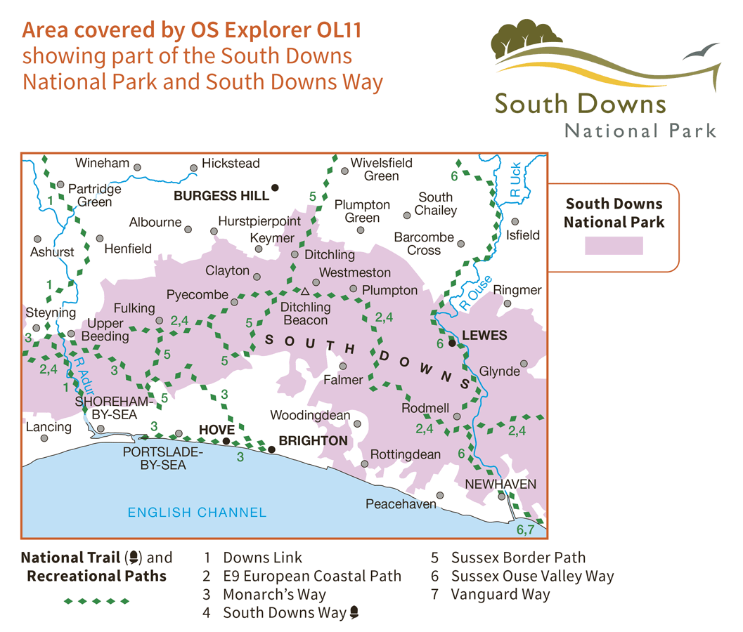
- South Downs
- South Downs Way
- Sussex Border Path
- Vanguard Way Downs Link
- Monarch’s Way (Book 3)
- South Downs Way (National Trail)
Areas and Locations
- East Sussex
- West Sussex
- Brighton and Hove
- Lewes
- Newhaven Shoreham-by-Sea
The Ordnance Survey Explorer – OL 11 – Brighton and Hove is simple to follow for everyone, from the occasional dog walker, to the regular hiker. Whatever your outdoor interests, with this handy fold-up guide in your knapsack, you’ll have no trouble navigating your way from countryside to coast. With every detail covered in the OS Explorer – from pubs and landmarks, to rivers and rights of way – discover hamlets, trails and streams that might otherwise have passed you by.
Stop off for fish and chips on Brighton Pier – the perfect place to experience the traditional English seaside. And explore secret sand dunes and secluded bays near Shoreham-by-Sea. The picturesque village of Steyning offers a perfect base for discovering the Lower Weald and South Downs.
Take the chance to trek to the top of Ditchling Beacon, the highest point in East Sussex, for some spectacular views of the county. Visit the historic market town of Lewes, exploring the quaint castle and stunning natural sites. And with the English Channel, as well as three rivers covered in the map – the Ardur, the Ouse and the Uck – there’s no shortage of opportunity for exciting water-based activities.
Highlights of the area include: Lewes, the South Downs, Ditchling Beacon, Brighton Pier, The Brighton Pavilion, and the South Downs Way.
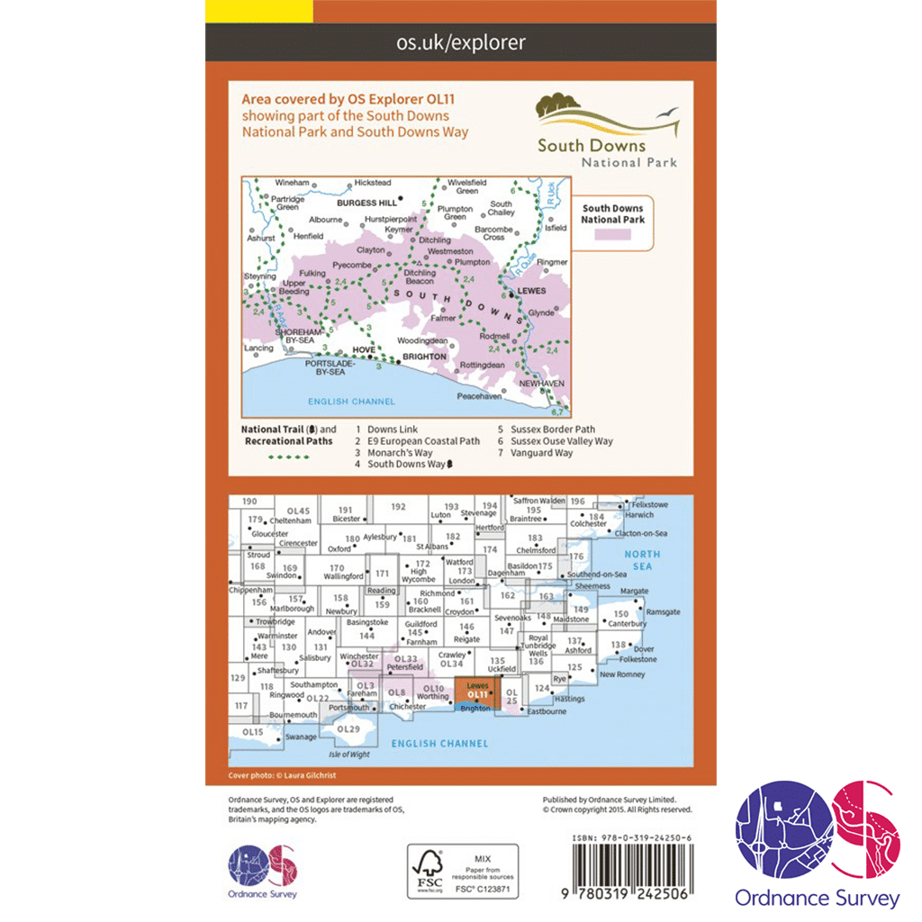
Ordnance Survey Explorer – OL 11 Mapping Area
How to access the digital version of this map
This map comes with a digital version which you can download to your smartphone or tablet.
Go to OS.uk/redeem for more details (terms and conditions apply).
Scratch off the panel on the inside cover of the map to reveal a code, you are then just three easy steps away from downloading your digital map. If the scratch panel has already been scratched off or if you have any problems downloading your map, please call the OS Customer Service Centre on 03456 050505.
Additional information
| Brand | |
|---|---|
| Continent | |
| Country | England |
| County | |
| Location Keywords | Brighton and Hove, Lewes, Newhaven, Shorehame-by-the-Sea |
| Map Number | |
| Map Title | |
| National Park | |
| Pack | |
| Product Category | |
| Trail Keywords | Monarch's Way (Book 3), South Downs Way, South Downs Way (National Trail), Sussex Border Path, Vanguard Way Downs Link |
Delivery Information
Shipping is free on all orders for our UK customers!
Orders will be processed and shipped as quickly as possible, however, we are experiencing delays at the moment.
Once your order has been processed it will be shipped by Royal Mail’s 24 or Tracked 24 Service, which delivers Monday to Saturday. Larger or heavier orders are then shipped by DHL.
Orders under £50 will be sent by the Royal Mail 24 Service, which delivers within 48 hours of despatch. Orders over £35 will be sent by the Royal Mail Tracked 24 Service, which delivers within 24 hours of despatch, and any orders over £100 will require a signature.
You will receive a Royal Mail or DHL Tracking Number once your order has been processed.
To avoid disappointment, please contact us if you require the items urgently.
Please don’t hesitate to contact us if you have any questions about delivery.
International Orders
We currently charge £15 for all orders for customers outside of the UK.
Return an Item
Free “No Fuss” Tracked Returns!
Not happy with the product? Item doesn’t fit? Or did we send the wrong item? No problem, we’ll get that sorted for you!
Step 1
Package the unwanted items up, ready to send back.
Step 2
Click the button below to produce a Royal Mail Pre-paid Returns sticker, making sure to include your order number.
You will also be emailed a QR code that you can take to the Post Office, so they can produce your sticker – should you not have a printer.
Step 3
Take the package to your nearest Post Office.
We will then be notified by Royal Mail that you are returning something.
Step 4
We will check the package in when it arrives with us and arrange your refund as quickly as possible. This is usually within 1 working day of the item arriving back. You will then get an email confirming that the refund has happened and you should receive your refund either back to your card or PayPal account within 24-48 hours. If you have any questions or concerns, please get in touch.


Reviews
There are no reviews yet.